Old Nation House Matatu Station
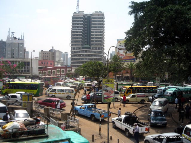
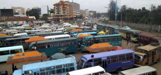
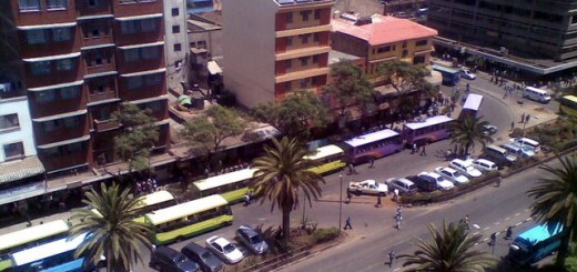
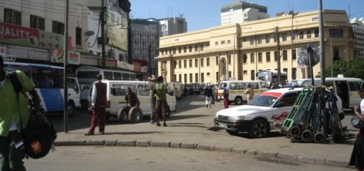
The Old Nation House Matatu Station, also known as Khoja Stage at the junction of River Road and Tom Mboya Street near the Fire Station, is the city centre terminus for matatus heading to some of the Northern suburbs of Nairobi and peri-urban sections of Nairobi that fall under Kiambu County. It is named after the nearby building that served as the offices of the Nation Media group for decades before they moved to their current office building on Kimathi Street.
-

- Old Nation House Matatu Station
-
- Old Nation House Matatu Station

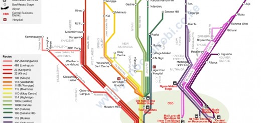
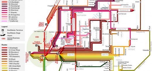
 The table below shows the route numbers and route descriptions for the destinations served by matatus at this station. These are also shown graphically on the route map on the left.
| Route | Destination | Route Description |
|---|---|---|
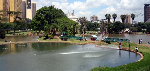
| 106 | Banana Hill | Limuru Road, City Park, Aga Khan Hospital, Muthaiga Shopping Centre, Gigiri, Village Market, Runda, Two Rivers Mall, Ruaka, Banana Hill |
| 107 | Karura (Kamurimo) | Limuru Road, City Park, Aga Khan Hospital, Muthaiga Shopping Centre, Gigiri, Village Market, Runda, Two Rivers Mall, Ruaka, Karura (Kamurimo) |
| 108B | Karura (Kanyugu) | Limuru Road, City Park, Aga Khan Hospital, Muthaiga Shopping Centre, Gigiri, Red Hill Road, Nyari, Karura (Kanyugu) |
| 118 | Westlands | Museum Hill, Parklands, MP Shah Hospital, Westlands |
| 118B | Wangige | Museum Hill, Parklands, MP Shah Hospital, Westlands, Lower Kabete Rd, KIA, Wangige |
| 119B | Mwimuto | Museum Hill, Parklands, MP Shah Hospital, Westlands, Mwimuto, Wangige |
| 119A | Gathiga | Museum Hill, Parklands, MP Shah Hospital, Westlands, Gathiga |


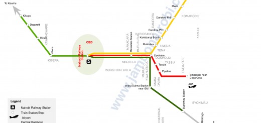
u forgot to mention the railways bus station which has routes 8 for kibera, 46 for kawangware, 111 for ngong, 125 for ongata rongai,126 for kiserian.
however the kiserian routes are two.. 111/126 passes through ngong road to ngong then to kiserian, while 125/126 passes though langata road-magadi road to ongata rongai then to kiserian.
Here is the link for Railway Station
http://www.jambonairobi.co.ke/services/public-transport/road-transport-nairobi-outskirts/nairobi-railway-station/
where is the bus terminus for route number 131 ? Destination Muguga Kenya Forestry Research Institute.