Ol Donyo Orok, Western Side
| Distance from Nairobi | About 170km |
| Starting Point | Namanga Town |
| Ending point | Namanga Town |
| Walking Duration | 5 hours |
| Terrain | Dirt trail, rocky |
| Difficulty | Moderate |
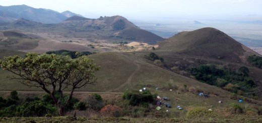
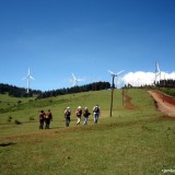
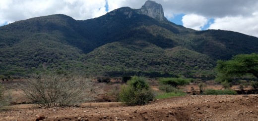
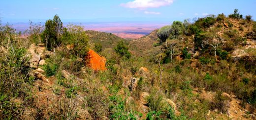
The Ol Donyo Orok, also known as Namanga Hill, soars to an elevation of 2,548m above sea level, towering over the vast surrounding semi-arid lowland like a lone sentinel, 22km from its closest neighbor Mt Longido on the Tanzanian side of the border. Situated about 170km south of Nairobi at the border town of Namanga between Kenya and Tanzania, it is shaped like an arrow pointing north, stretching about 17km north to south, 10km east to west at its broadest, and covering an area of 11,860 hectares.
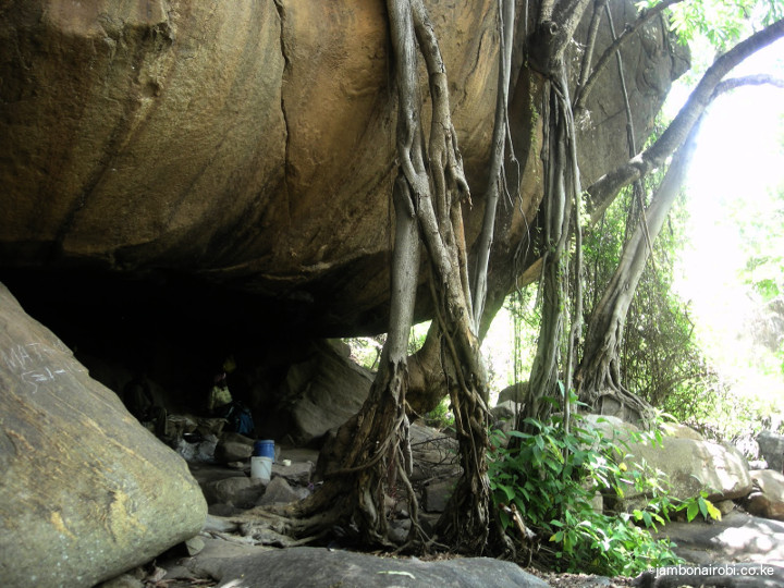
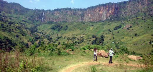
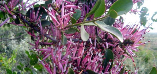
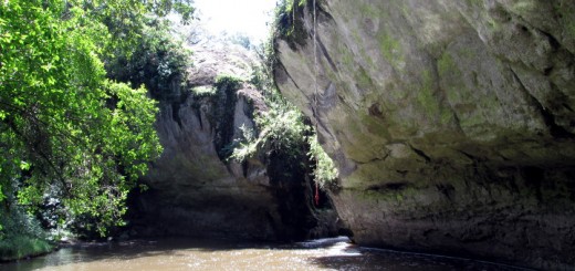
The hill is a gazetted natural forest reserve that serves as a water catchment for Namanga town and the surrounding area. Its largely unexploited vegetation makes it one of few intact forests in Kenya, with minimal harvesting of construction poles by the local Maasai community for building their huts. The boulder strewn Namanga River cuts a deep gorge through the mountain, and spots caves used by Maasai Morans in some of their rituals.
-

- Piped water to Namanga
-
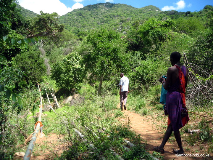
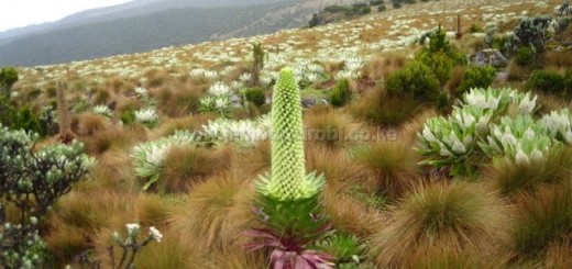
- Forest climb on Oldonyo Orok

-
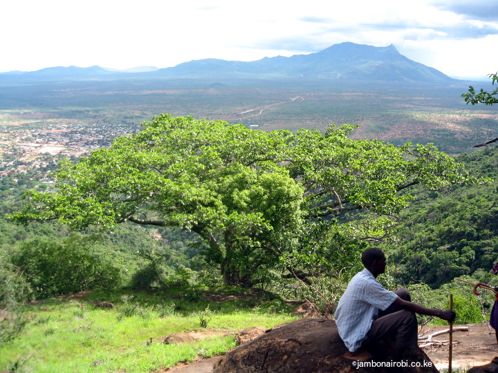
- View of Mt Longido
-
- Cave on Ol Donyo Orok
-
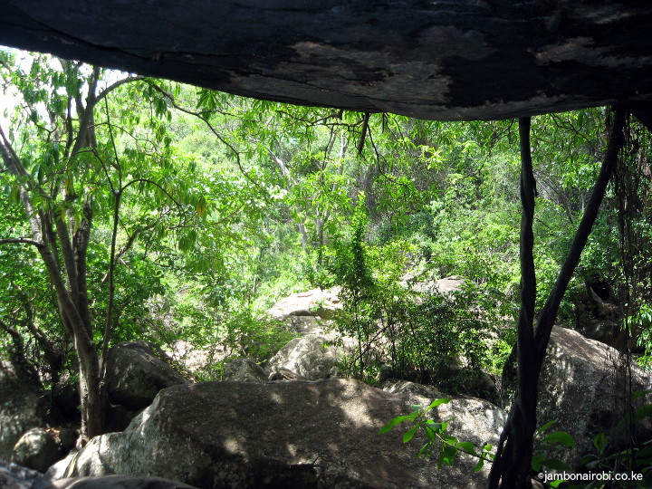
- View from Cave on Oldonyo Orok
-
- Riverbed on Ol Donyo Orok

Route Description
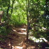
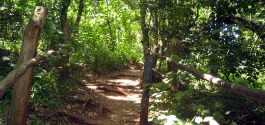
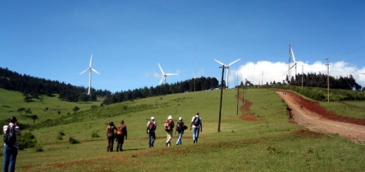
One of the trails up the hill starts off near the entrance to Namanga River Lodge on the western side of the mountain. It goes past an old bridge and an abandoned school before getting to a path running parallel to water pipes supplying the town with water from mountain streams.
The vegetation gets thicker as the trail wounds its way higher up the mountain along Namanga River. The clear mountain river waters, boulders sculptured by centuries of water erosion, and caves carved into the river and mountain sides provide a most rewarding outdoor experience for the hiking enthusiast. At some places higher up, the trail opens up into clearings from where views of the town below, the distant Mt Longido, and Mt Kilimanjaro about 65km away are a sight to behold. You may also get lucky and spot some of the local game like herds of Buffalos, various antelope species, dik dik, and monkeys.
Hiking up the hill can take anywhere from 4 to 6 hours for the round trip. It goes without saying that the experience is more rewarding if you make stops at strategic viewpoints along the trail to take in the views, sounds and scents of the general surrounding. It would also be helpful to get the help of a Maasai guide.
Getting There
If using public means from Nairobi, take Namanga matatus from the Junction of River Road and Ronald Ngala Street, near OTC.
If driving, take Mombasa Road and turn left onto Namanga Rd at Athi River junction. Go past Kitengela, Isinya and Kajiado town till the Namanga border town.
Guide
Jonnah Ole Milliah – 0712252574
While the local guides often doesn’t co-opt the help of armed Kenya Forestry Service (KFS) personnel, it might be wise to ask them to arrange for armed escort. It costs extra, but considering the risks you face on this mountain, that precaution could save you from a deadly encounter.
Entry Requirements
The Kenya Forest Service, the custodian of the Forest on Namanga hill, does not levy any fee for hiking within. Your guide will advise you on their guiding and conservancy fees.
Other sites: http://www.mck.or.ke/photo-gallery/ol-orok/


Is there a recommended guide for Ol Donyo Orok?
Maasai moran camp offers best guide for unforgetable experience
Thanks Hac adan. Could you be having their contacts?
Could i get a number for a guide…Jonnahs number indicated above is not going through. Thanks
Eve